Game Map Add-On
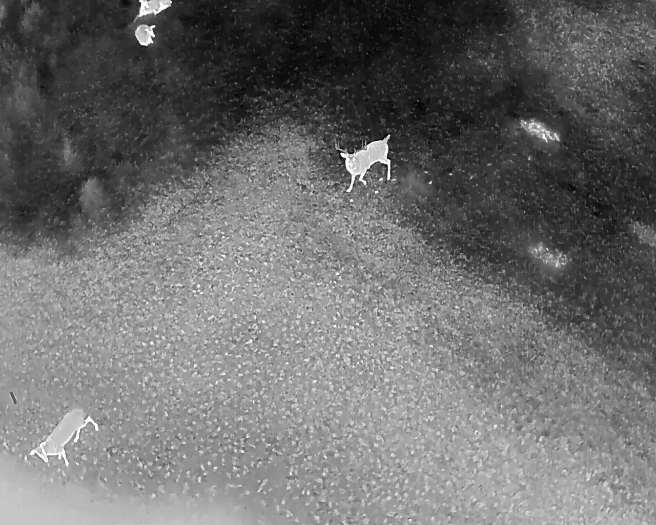
With our game map add-on, we're able to provide not just an accurate count of animals on your property, but pinpoint their exact locations. Using cutting-edge geospatial EXIF technology built into the drone, we can construct a complete map of all wildlife spotted on the property.
These game maps are delivered in an easy-to-use online model, allowing landowners, hunters, and land managers to visualize animal movements and behavior patterns over time. Whether you're planning to install a new hunting blind, establish a fresh food plot, or add a new water source, our game map gives you the insight needed to make informed, strategic land and wildlife management decisions.
Ideal for ranches, hunting leases, and conservation properties, this service helps you manage game populations more effectively than ever before. View an interactive example here.


