With over 900 surveys conducted across the entire state, Sky Senderos is the largest, most trusted provider of drone wildlife census counts in Texas. That scale allows us to continually refine our process and methodology in order to achieve the most accurate results possible.

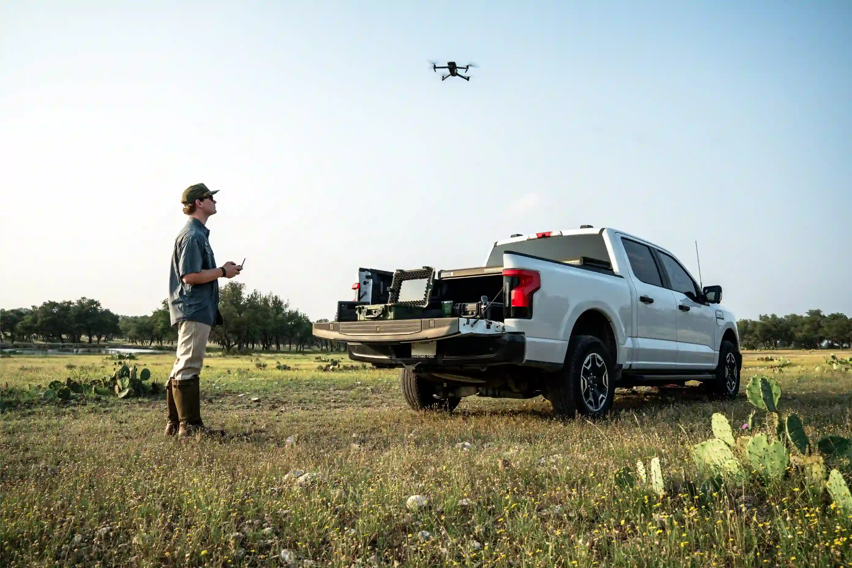
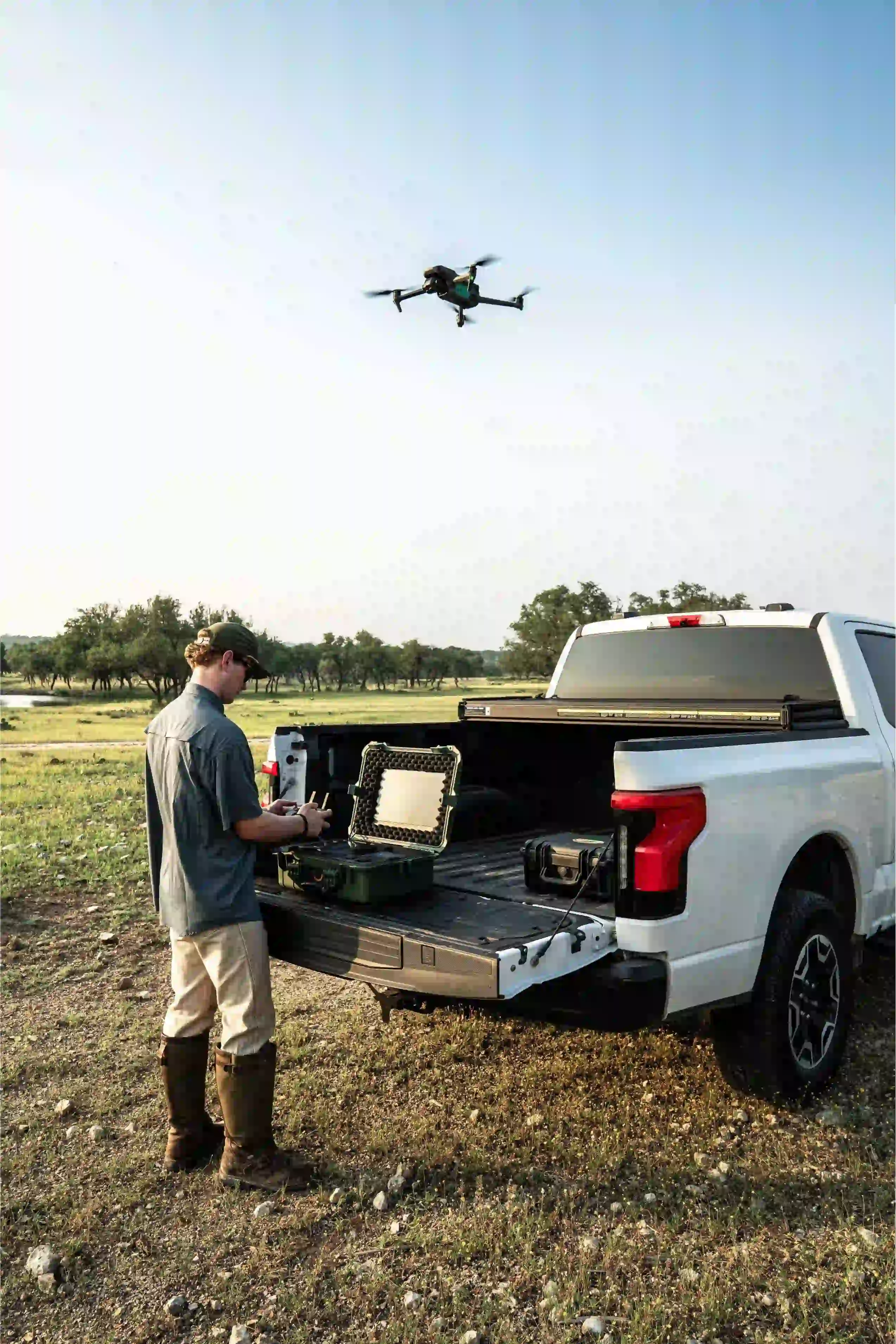
Conducting a thermal drone survey with Sky Senderos allows you to collect the most accurate count of your wildlife population. Armed with this data, you can make more informed decisions about your hunting, habitat improvement, predator control and other wildlife management efforts.
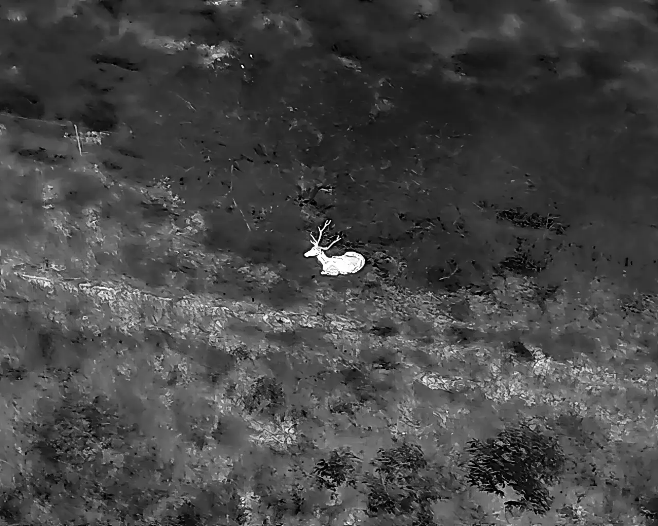
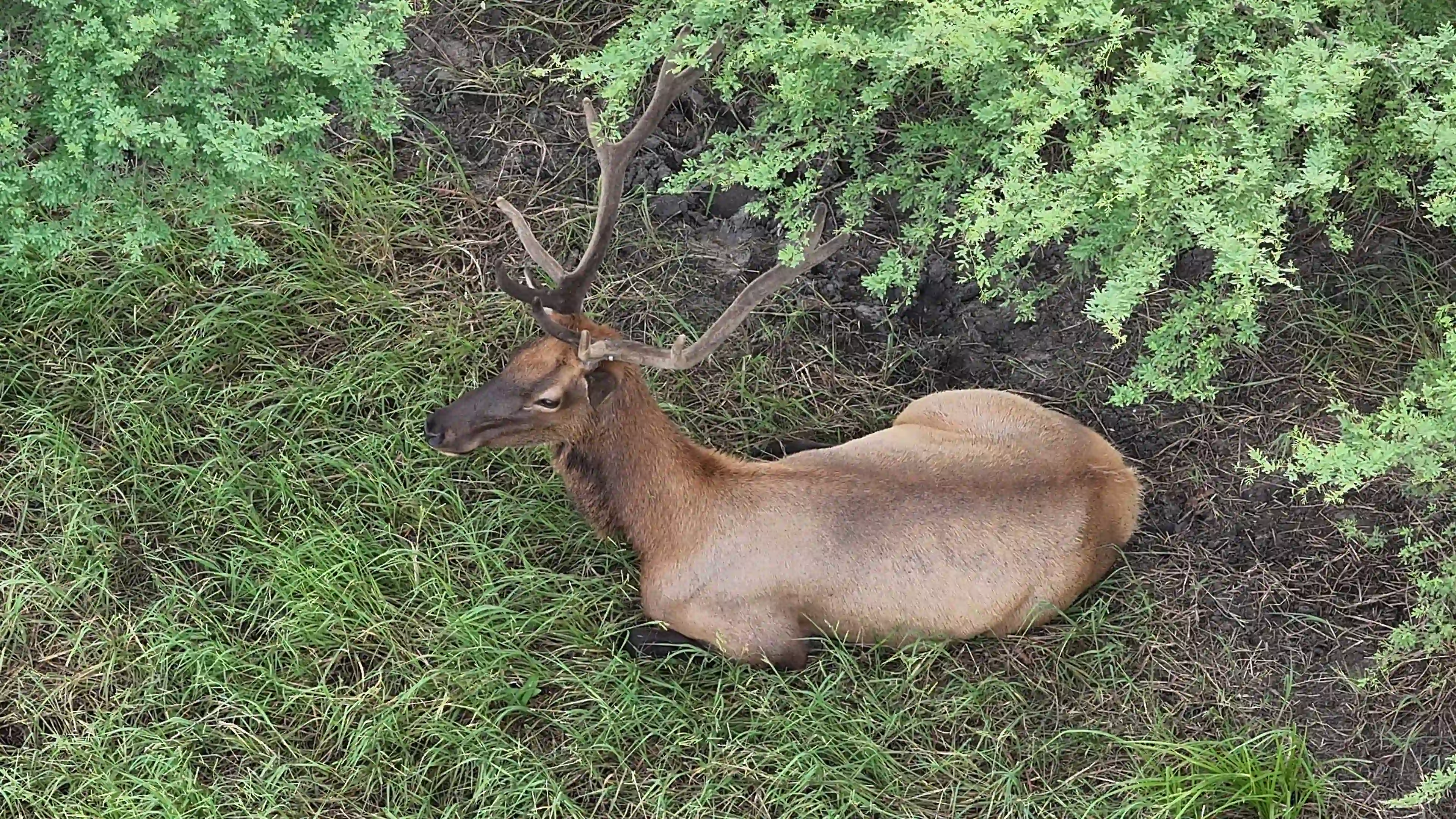
Collect more accurate and precise data on your wildlife populations by harnessing the most technologically advanced survey tools
Our thermal drone wildlife census counts give you higher quality, more actionable data at a lower cost than other survey methods

Avoid endangering people or putting unnecessary stress on your animals and running them into a fence or off your property
The Sky Senderos fleet is able to fly your entire property in just one night - and get the reviewed results to you that same week
%20(4).webp)

.png)
.png)

.png)